Found
Texts
Transliteration
[e^k irilaz wiwila ÷]
Normalisation (Old Norse)
Ek erilaz Wiwila.
Normalisation (Scandinavian)
Ek erilaz Wiwila.
Translation (English)
I, the eril Wiwila.
Location
- Found location
- Veblungsnes
- Parish
- Grytten sn
- District
- Møre og Romsdal fylke
- Municipality
- Rauma
- Oldest known latitude and longitude
- 62.546500, 7.632200
Classification
- Carver
- —
- Number of crosses
- 0
- Cross form
- —
- Rune type
- —
- Style
- —
- Dating
- Proto-Norse period 375/400–560/570 (Imer 2007)
Additional information
Rasade i sjön 1935.
References
Images
-
 Photo from Norges Indskrifter med de ældre Runer, A.W. Brøhhers Bogtrykkeri, Christiania 1891-1924. Public Domain
source: https://www.arild-hauge.com/arild-hauge/no-rune-veblungsnes.jpg
-
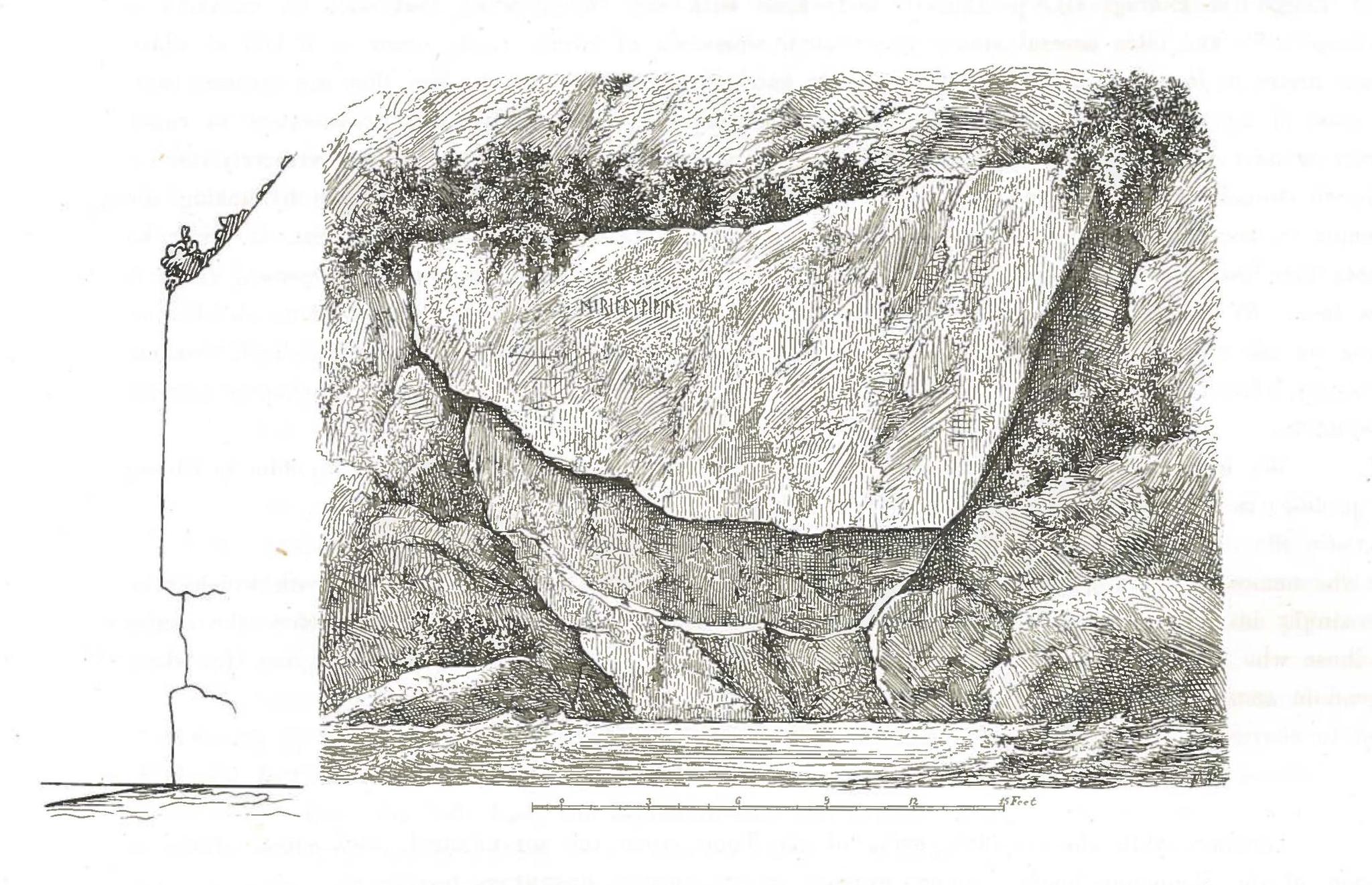 Drawing of the Rune Hammer at Veblungsnes. Drawing: Bendix Bendixen. Taken from Stephens, G. (1884). CC-BY-SA 4.0
source: https://www.arild-hauge.com/runer.ku.dk/NIaeR-25-Veblungsnes_strektegning.jpg
-
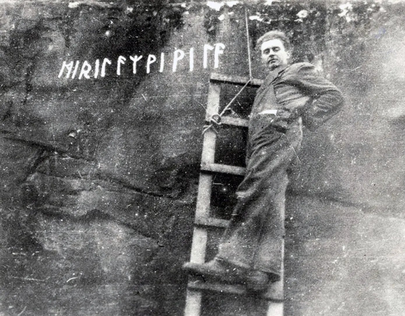 Photo: Norsk Tindemuseum. CC-BY-SA 4.0
source: https://www.arild-hauge.com/runer.ku.dk/NIaeR-25-Veblungsnes_Bilde_med_stige.jpg
-
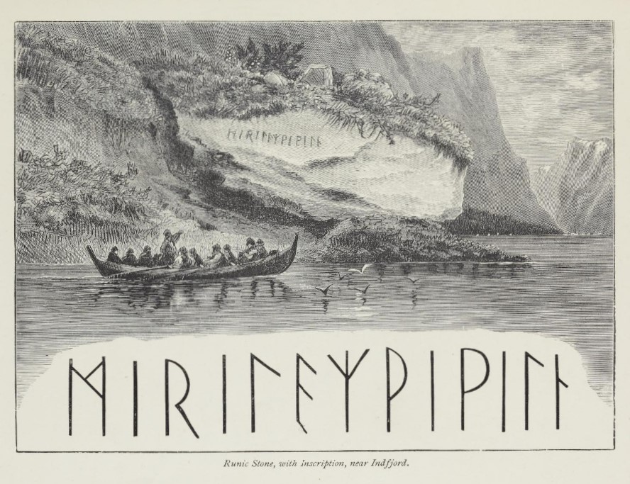 Drawing of the Rune Hammer at Veblungsnes. Drawing: From R.T. Pritchett's book "Gamle Norge. Rambles and scrambles in Norway", 1879. CC-BY-SA 4.0
source: https://www.arild-hauge.com/runer.ku.dk/NIaeR-25-Veblungsnes_tegning.jpg
-
 Image shown in the inscription section (no separate image caption provided).
source: https://www.arild-hauge.com/runer.ku.dk/NIaeR_25-N_KJ56_VEBLUNGSNES_FJELLINNSKRIFT.jpg